keywords: Moon and earth photo, spaces images, NASA, Voyager

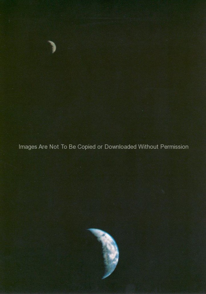
First Earth and Moon Picture
NASA Stock Photos – This picture of the Earth and Moon in a single frame, the first of its kind ever taken by a spacecraft, was recorded September 18, 1977, but NASAs Voyager 1 when it was 7.25 million miles (11.66 million kilometers) from Earth. The moon is at the top of the picture and beyond the Earth as viewed by Voyager. In the picture are eastern Asia, the western Pacific Ocean and part of the Arctic. Voyager 1 was directly above Mt. Everest (on the night side of the planet at 25 degrees north latitude) when the picture was taken. The photo was made from three images taken through color filters, then processed by the Image Processing Lab at Jet Propulsion Laboratory (JPL). Because the Earth is many times brighter than the Moon, the Moon was artificially brightened by a factor of three relative to the Earth by computer enhancement so that both bodies would show clearly in the prints. Voyager 1 was launched September 5, 1977 and Voyager 2 on August 20, 1977. JPL is responsible for the Voyager mission.
